skip to main |
skip to sidebar
GOVERNORS ISLAND
GOVERNOR'S ISLAND - visited SEPT 2019
This small island has a great location - less than 1km off the crowded southern tip of MANHATTAN (and even closer to BROOKLYN) guarding the entrances to both the EAST RIVER and WEST (HUDSON) RIVER.
GOVERNOR'S ISLAND seen from SOUTH MANHATTAN'S ONE WORLD OBSERVATION DECK. Background is the VERRAZZANO NARROWS BRIDGE joining STATEN ISLAND at right to the BAY RIDGE area of SOUTH BROOKLYN. Closer is BROOKLYN'S RED HOOK dock area.
Kinda shaped like an ice-cram cone. Interestingly the ice cream part is the ORIGINAL ISLAND - the cone handle is A LATER EXTENSION done by dumping spoil from NYC subway construction.
In all, a pretty compact island - longest axis 1350m : widest 800m : average width 500m
SOMETHING FOR EVERYONE
Although it has enjoyed periods of singular purpose over the years, the island today has attractions which will appeal to many types of visitor, both local and from further afield.
1 - HISTORY AND MILITARY BUFFS - the strategic location makes the island a natural for defensive installations to guard the approaches to NYC. Once established, the military went nuts building all sorts of installations - admin buildings, schools, barracks/officer housing, hospitals, jails, forts, leisure areas. The military has now gone, but the installations remain. Visitors who are into military history and history in general will love this.
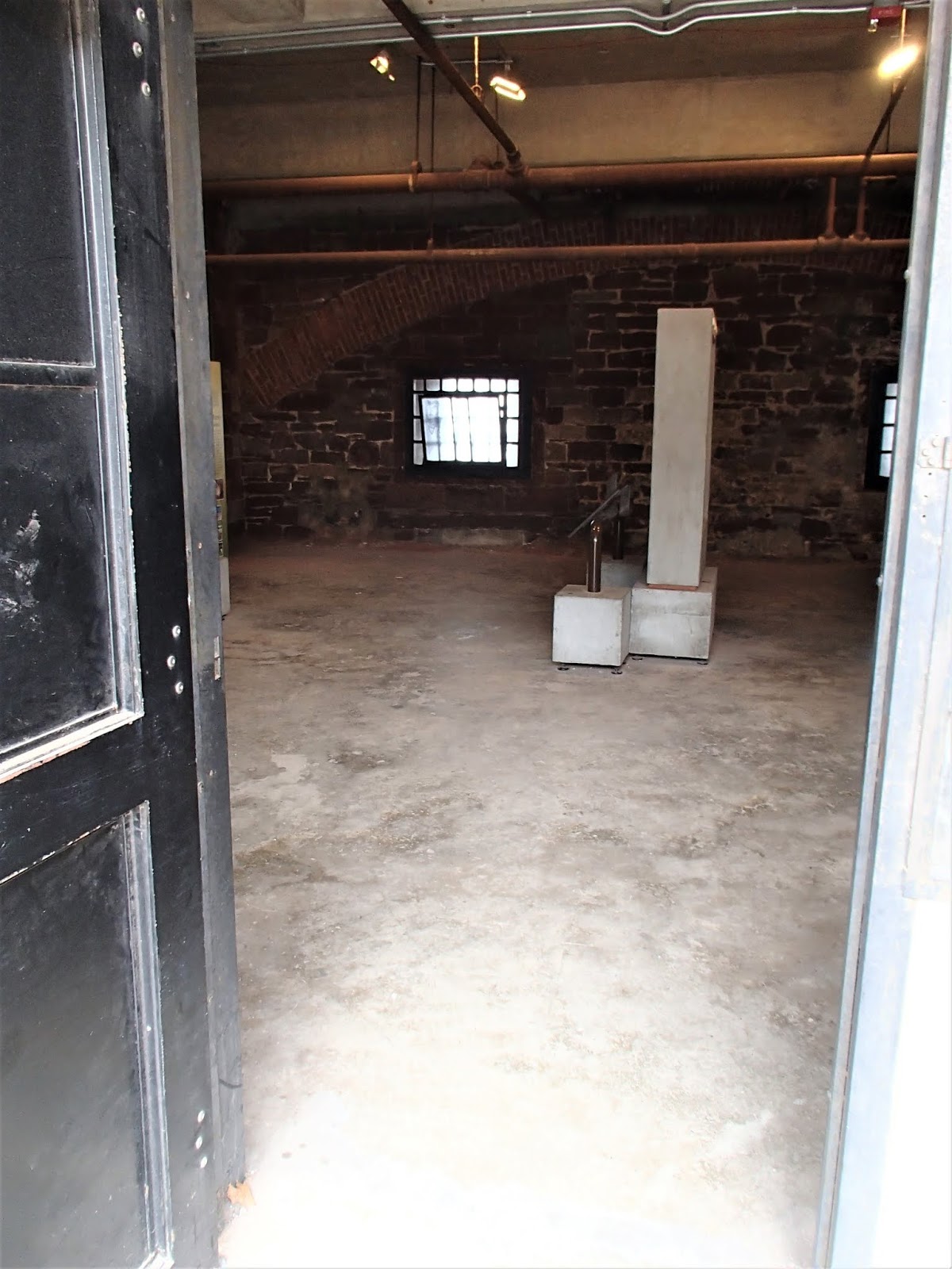
CASTLE WILLIAMS
CASTLE WILLIAMS - with a shoreline aspect looking right up the WEST RIVER, this is a natural defensive position.
In later years the place was used as a military prison.
Lotsa explanatory placards etc for cheapskates like me want to do a self-tour:
NATIONAL PARK staff put on periodic tours.
FORT JAY
FORT JAY was the main defensive position - right at the top of the (slight) hill. You are looking at its dry moat and walls. Scaffolding covers renovations to the entrance.
Layout of FORT JAY - check the moat, outer wall, inner wall. Once again you can organise an expert-led tour but I just did my thing.
The greater area around the top of the island had an abundance of old administrative and residential buildings - some restored, some not. You can tour some. A few were being used currently as admin areas for NATIONAL PARKS and the island authority.
The NEW YORK HARBOR SCHOOL is in some of those buildings. Part of NYC's high school system, this one has a bunch of subjects specialising in nautical stuff.
A big area at the top of the island is given over to OFFICER ACCOMMODATION and adjacent leisure areas. Some of these places had been restored, others not.
Lower ranks tended to be housed in apartment blocks like 3 shots up.
At least 3 churches in this zone.
2 - SIGHT-SEEERS
People wishing to view or photograph NYC icons from a unique perspective will not be disappointed.
THE LADY
You will get closer (but not much) from passing ferries, but won't get a static shot as above - from the island's lower west coast walkway.
THE FINANCIAL DISTRICT
There are ample opportunities to view some of the most expensive real estate in the world. Above is from a neat cafe near the ferry dock.
....this one is from one of the artificial hills in the southern part of the island.
BROOKLYN BRIDGE
Kinda mixed in with the MANHATTAN BRIDGE behind. Tall building is the Lower East-side's ONE MANHATTAN SQUARE condos - kinda a neat place to live.
JERSEY CITY
NJ's equivalent to the MANHATTAN FINANCIAL DISTRICT at JERSEY CITY directly across the HUDSON.
Of course there are equally good views (but not as spectacular) of BROOKLYN, STATEN ISLAND, THE VERRAZZANO BRIDGE etc.
In the reshaping of the southern half for leisure activities, several hills and paths were put in - this one leads to a viewpoint with pic opportunities like 2 shots up, or....
....by swinging the camera 40 degrees, this one of lower playing fields and in the distance, downtown BROOKLYN.
3 - LEISURE SEEKERS
When the island was extended south in the early 1900s almost all the new area was given over to the military. At one stage there were barracks to house many thousand soldiers not to mention airstrips and a whole bunch of other military facilities. The COAST GUARD also established itself here.
In 1966 the military and Coast Guard withdrew. For a time argument reigned about the island's future but eventually it was decided to run it as a public park and historic area. To this end most of the southern section was cleared of structures and remodeled into what could be called a general leisure area including extensive lawned area for picnics, corporate events, sporting activities, concerts, displays. playgrounds, gardens - all traversed by winding asphalt paths great for cycling (although distances are relatively short making walking the island easy).
CORPORATE EVENTS
The day of my visit saw a whole bunch of happy people from a MANHATTAN wholesale firm on the ferry across headed for the south lawn where hospitality tents had been set up for their "picnic day".
PLAYING FIELDS
The southern half includes several playing fields - this one being used for SOCCER, but is okay for other uses ranging from BASEBALL thru CULTURAL FESTIVALS to ROCK CONCERTS.
FLYING FOX
This FLYING FOX was not being used on a slow Fall Monday.
GLAMPING
If you fancy a night or more in a tent, this can be done. Prices vary according to size etc but aint cheap.
GETTING AROUND
My rental bicycle from BLAZING SADDLES bargain basement model with fixed gear (this proved okay on all but the steepest section of the island's small hills) but in very good condition. Lots of other models to choose from.
Note base of THE LADY in the background.
The island has 11km of bike paths.
CITYBIKE had 3 rental stations - this one near ferry terminal from BROOKLYN.
GETTING THERE
GOVERNORS ISLAND has good inexpensive ferry trips from SOUTH FERRY in MANHATTAN'S FINANCIAL DISTRICT and from BROOKLYN.
A few services are free. Check online.
MANHATTAN FERRY arrives at SOISSONS LANDING in the island's north. Note short distance and lack of vehicles (I think private vehicles are banned - not so bicycles)
BROOKLYN FERRY at YANKEE PIER in the island's mid-east. ONLY 400m across to BROOKLYN.
CAVEAT - SEASONAL
To avoid disappointment, note GOVERNORS ISLAND does not operate in the low season - is open between the beginning of MAY until the end of SEPTEMBER. Check online.
ATTENTION - If you see mistakes or have extra information, please post below. But for questions, please ask on THE FORUM page which I check reasonably often whereas I revisit these individual place pages infrequently


1 comment:
if we see this place, so yes, i visited there and ion during this tour, i searching the different things and on there i see the different things like culture, history, and beauty, and now this time, I ready to explore bus tour from ny.
Post a Comment