VISITED JUNE 2017
Near cliff bottom, MATA AIR GUYANGAN
It's taken me over 20 BALI visits since 1975 to check PENIDA out. Should have gone earlier - it is terrific with some outstanding coastal and other scenery, top diving and snorkeling and despite being way more laid back and sparsely settled than mainland BALI and close neighbours NUSAS CENINGAN and LEMBONGAN, there is a good range of places to stay and general tourist facilities. Check the popular booking sites like AGODA, TIPADVISOR reports and general tourist info via GOOGLE - you will be surprised.
PENIDA is a high limestone-plateau based island a short distance to the south east of NUSAS CENINGAN and LEMBONGAN. Compared to them it is much bigger at 200sqkm abut way smaller than MAINLAND BALI - the closest point of which is near the east coast town of PADANGBAI about 15km to the north east.
The limestone plateau takes up most of the island and rises to a maximum height of 521m (1700ft) at PUNCAK MUNDI mid island below. There is a road to the summit area but I didn't get a chance to take it. (Be warned - a lot of PENIDA'S back roads are atrociously surfaced narrow lanes. However the 70% of the main roads shown on the map I took are pretty nicely surfaced and wider - however 4 wheeled vehicles still need to take care when passing). Away from the limestone plateau you have a narrow but very tropical coastal strip in the north and north east - the climb from here up onto the plateau is pretty steep but nothing like the awesome cliffs which go all the way from ATUH BEACH in the east clockwise to near TOYAPAKEH in the north-west. These cliffs have been severely attacked by the sea resulting in some very nice inlets, beaches and other features.
Limestone doesn't hold water plus this is a lower rainfall area than most of the BALI MAINLAND - I always pictured the plateau area as having a sparse cover of stunted bush but in fact it has quite good forest - even some palm trees in lower areas. However it is not a good farming area - I saw some cash-cropping on the coast and in lower NW plateau areas but the rest mainly features occasional commercial grazing and very scattered semi-subsistence cropping/grazing.
The main town is SAMPALAN on the north coast although it looks to have only a few thousand residents. The town has a small harbour where fast boats leave for SANUR and PADANGBAI on MAINLAND BALI and the slow public people/vehicle ferry for PADANGBAI.
TOYAPAKEH to SAMPALAN'S west is the next biggest place and is the point of entry from nearby CENINGAN and LEMBONGAN.
My digs were at MANTA COTTAGES and I mention all the other locations shown apart from PUCAK MUNDI down page.
ACCESS
I came across from NUSA CENINGAN on a fast speedboat charter.
Putu, the efficient head guy at my CENINGAN digs SECRET POINT HUTS, said the public boat was a bit iffy, often not running if customers were scarce - but he could organize a fast boat charter for idr150k (about $15aud/$11US) including transport to the boat from SPH. Seeing contemporary travel guides were quoting 300k I thought this a good deal. My charter took off from the LEMBONGAN (right-hand) side of the 2-island-linking YELLOW BRIDGE in background about 0930. We quickly passed the packed motorised barge in shot - maybe this is the public boat: but I can't remember seeing any luggage so maybe it is a day-trip charter on its way to PENIDA'S CRYSTAL BAY, a popular beach/snorkeling/diving outing from LEMBONGAN/CENINGAN.
The trip is short, only 4.5km and about 10minutes. I forgot a linear scale - it's 4100m in a staight line between the LEMBONGAN and TOYAPAKEH place markers.
A short distance off TOYAPAKEH we passed QUICKSILVER'S giant offshore pontoon. The fast catamaran had already arrived from BENOA near KUTA, MAINLAND BALI. I think daytrippers can do water sports off the pontoon and/or take excursions onto PENIDA. This would be the way most people get to see the island. Looked sweet to me for cashed up/time poor travelers.
Note AGUNG volcano on MAINLAND BALI behind pontoon - that island's highest mountain.
The boat was met at the beach by the usual transport guys who offered me a rental motorcycle for 50k a day. I was more interested in a ride on the back of a moto to my digs - this guy quoted 75k for the 15km trip. I would normally bargain, but this was a good deal relative to the venal transport guys on LEMBONGAN (CENINGAN is a different deal), so accepted. He seemed a bit surprised. OK - WIN/WIN - he's happy/I'm happy.
Trip took 25 minutes along the good but narrow main north coast road. Traffic not bad except for a few hold ups in villages and thru SAMPALAN. Scenery very green and tropical. Lotsa sand along here but beaches didn't look fantastic: pretty narrow - long and straight - featureless except in areas where fishing praus were lined up prior to taking off for the aftenoon/might session. A large proportion of the area between the beach and fringing reef is given over to sea-weed cultivation. I think that is PENIDA'S main economic activity.
BTW for you guys unhappy about moto transfers - I did notice travelers and their luggage moving about this road in compact vans. This would probably work out cheaper if the cost is shared between a number of people.
MANTA COTTAGES WITH SEA VIEW
From the surprising number of places offered on booking.com I selected MANTA on account of shots showing sea views from the rooms, restaurant and rim pool plus quite a decent price - despite quite a few negative reviews. Most complained of poor English skills and scratchy service - I'm thinking: what can be expected in a new resort on an island where regular tourism has only recently taken root? As it turned out, English WAS a bit lacking although head guy PUTU (another) was good when he was around - and service-wise, these people were trying hard to the point where I had little to complain about.
MANTA is located on the side of a hill above the coastal road about 5km south-east of SAMPALAN
Only 8 rooms in a linear block above the main coastal road. Despite road, traffic noise no problem - I was awake between 0100 and 0200 one time and I swear no vehicle passed by. Rooms relatively new flashpacker (upper budget) standard with flat screen TV, quiet aircon. Plenty of storage, good lights. Spacious, clean. Comfy bed. No fridge, no bottled water. Bathroom spacious, shower brackish (most water on PENIDA is bore-water with the water table in coastal areas is not far above sea level) but way less salty than sea water - felt refreshed after a shower. Poor flow in wash basin but flexible shower head reached. Front door lock broke but I jury rigged one from my bicycle cable-lock.
Outlook thru front door. Out on the balcony the west coast of LOMBOK could be seen slightly to the right and the southern AMED coast of mainland BALI (30km) hard left. RINJANI, Lombok's volcano was visible some mornings (90km) but we were too far around the curve in the coast to see AGUNG in mainland BALI.
Sun rising behind cloud-misted RINJANI from balcony. The cone peaks at that patch of cloud mid-pic.
A 2 storey block was under construction behind the restaurant. Looks to have 8 rooms same traditional style as existing place. Upstairs should have killer views. PUTU apologised for any noise but I didn't think it excessive.
Women do a lot of the hard labouring at Indo constructions - here carrying black sand up from road level.
 Restaurant had the same great views. Service pretty good but be aware early morning suns shines/afternoon sea breeze blows directly into kitchen door so it's closed much of the time. No worries - the drill is just to bang on the door for service. Junior waitress Lucey sweet, seemed to have a fair grasp on English but sometimes caught wanting in this - have patience, these people are relatively new at the job. Free wifi seemed to work best here and around the pool.
There was a small shop right of camera selling touirst essentials and snacks.
Restaurant had the same great views. Service pretty good but be aware early morning suns shines/afternoon sea breeze blows directly into kitchen door so it's closed much of the time. No worries - the drill is just to bang on the door for service. Junior waitress Lucey sweet, seemed to have a fair grasp on English but sometimes caught wanting in this - have patience, these people are relatively new at the job. Free wifi seemed to work best here and around the pool.
There was a small shop right of camera selling touirst essentials and snacks.
Menu prices lowest of 9 accommodation places all trip - as low as famed elcheapo specialist restaurant BAMBOO CORNER in KUTA'S POPPIES LANE 1- despite online guides saying PENIDA food/drink prices are higher than on mainland BALI because so much stuff is shipped in. Large beer 35k (normal budget place 40/45K), tea/coffee 5k (30k) .Food prices likewise inexpensive - seemed to be cooked up pretty well to me but I'm no gourmet. Menu maybe a bit limited - few western dishes and no wine. But plenty of nice warungs along the coast road for some variety. Inclusive breakfast very simple - big eaters can order cheaply from the menu - a fruit plate cost me only 15k.
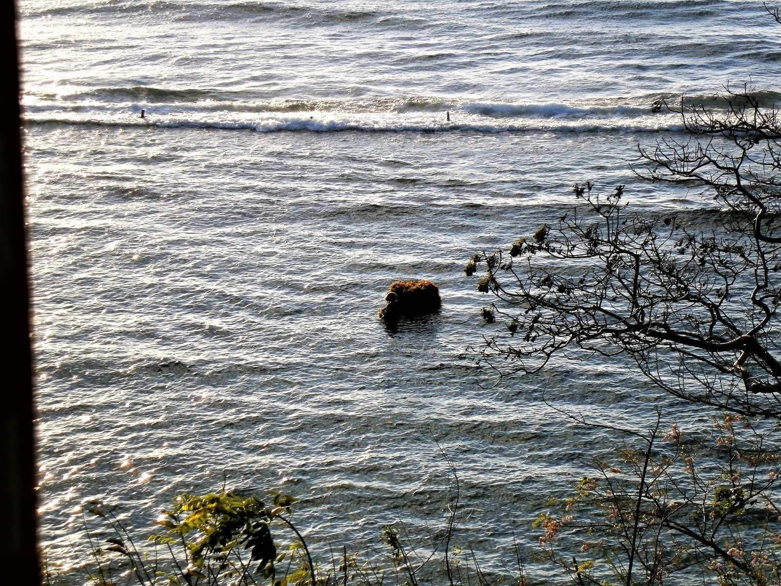
Shot from restaurant. Harvesting of sea-weed is done when tide is up - woman is towing inner tube on which harvested weed is stacked.
More harvesting from my room's balcony. Might be clearer if you click-expand.
Nicely located pool. Design a bit weird - green colour makes it look unclean - it wasn't. It's about 12mX5. There is a 12X2 shallow kids' section at right - the remaining 12X3 is a uniform 1.8m (6ft) deep so only a tall person can stand - makes peering over the rim on elbows a bit uncomfortable after a while. Sufficient sun lounges - some had umbrellas but no soft mattresses - however they were not particularly uncomfortable. Water is that salty stuff (not sea water) that is so popular - a bit hard on the eyes.
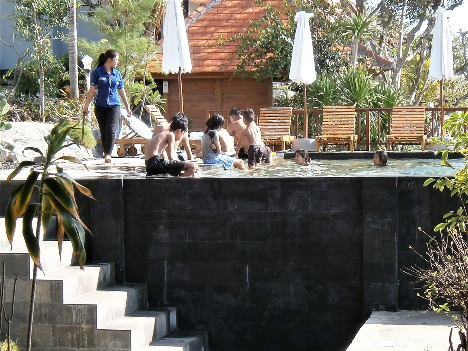
Local kids had a ball in a special 1 hour session around 1600 Saturdays. You have no idea how rudimentary housing conditions are in nearby areas - a chance to pool it off must blow them away.
----------------------------------------------------------
AROUND MANTA COTTAGES
I spent the first and last of my 4 days exploring the coastline both sides of MANTA on foot.
FIRST DAY WANDER
My first excursion was southward down the coast road to the communications tower - just umder 3km and 45 minutes each way.
Arrow shows extent of walk - around first headland to adjacent tower.
This section of the coast reminded me of the AMED region of north-east mainland BALI. The coast road went up over headlands and dived down along bays....
,,,,,along which fishing praus were parked awaiting the afternoon-night session
Narrow road shows tropical nature of the north and north-east coast.
Local ladies transporting fruit - judging by ornate arrangement this is meant for some type of ceremony.
Roadside has frequent dwelling in small linear villages - probably houses of seaweed farmers and fishermen. Lotsa small stores, bales (sitting platforms) where people---um---sat around and talked and maybe played cards, a few touristy warungs and simple places to stay. No flash resorts. GOA GURI PUTRI on the Google Earth image above is apparently a well known religious area - THE TEMPLE OF THE CAVE. Putu from MANTA COTTAGES suggested I check it out but not being big on culture or temples, I gave it a miss - subsequent reading tells me maybe that was a mistake. There is a second temple, SEGARA YEH ULAKAN, on the headland just short of the tower.
Bale card game in progress.
Sea-weed drying in the sun. This along with fishing seems the main activity on this section of coast.
With the whole island made of limestone, roadside quarries are common. This guy was splitting off sections later shaped into big building blocks.
UPHILL LANE FROM MANTA COTTAGES - lotsa traffic (for the area) was coming out of a narrow steep lane to MANTA'S immediate northern side - so I decided to take a wander up there. Seemed tp be a whole mountain community in linear settlements along the lane - settlements too small to be villages or hamlets - in RURAL SETTLEMENT 101 back in 1964 I think we called them "roadsides". The lane continued steeply for what seemed 2km - lotsa kids and families outside houses, very friendly. Not sure what supports them - didn't seem to have much growing up there - maybe they are connected to the sea-weed and fishing. Got quite high and some panoramic views opened up but my camera's battery was flat.
ON THE LAST DAY I decided to walk the section of coast in the other (northwards - more correctly north-east) direction from MANTA
LAST DAY WANDER
Places visited last day. SAMPALAN is a little over 5km from MANTA. The coastal road is a delight, twisting/dropping/climbing into small bays and gullys - several linear roadsides with lush verdant vegetation between.
BOGA SEGARA WARUNG
This place is a pleasant 2km walk from MANTA and has dining bales arranged around a curve in the road on a low headland. A more conventional seating/cooking building is across the road, Bales hav good sea-weed farming views all round - the closest had similar LOMBOK views to MANTA'S restaurant, so....
....I picked a bale on the northern end with good views of AGUNG volcano on mainland Bali
Food prices once again lower than average budget joints back in mainland BALI. Fried chicken for idr25k $US1.90 a pretty good deal. Click expand for better clarity. Drink prices similarly sweet - another PENIDA place with 35k large beers.
Fried chicken and large beer went down pretty well - followed by a 15k fruit plate.
By the end of lunch time all bales were taken. There was no accommodation nearby - all these people were passers-by on motorcyle tours of the island.
MOLA MOLA WARUNG
Less than a km north I found another roadside/seaside warung - MOLA MOLA which was much more spacious and modern - had a good sound system, efficient staff and prices above BOGA SEGARA'S but still near budget level. Few customers on a nice day but I got the impression this place would be a good party, wedding-reception or other function venue for not too distant SAMPALAN.
Outlook from MOLA MOLA. Check kid with kite.
SAMPALAN
PENIDA'S biggest town (it aint no city) starts only a few hundred meters past MOLA MOLA. It is largely a linear town (although there are a few back streets) stretching a bit more than 3km along the coastal road. Town centre is toward the far end from MANTRA/MOLA MOLA, about 6km from the former.
Town central SAMPALAN - not quite PARK AVENUE. Had a reasonable range of businesses over about 200m - opposing traffic could get a bit jammed up when trying to pass 2 bigger vehicles parked across from each other. At least 3 ATMS nearby. A left turn a little further from the camera takes you to the boat departure area seen below.
The slow vehicle/passenger ferry leaves for PADANGBAI on the central mainland BALI coast daily. Fast boats leave for PADANGBAI and SANUR in south mainland BALI several times per day. Slow and fast boats also leave for KUSAMBA south of PADANGBAI. Details online. The produce market must kick off pretty early - little going on when I went past several times after noon.
Most fuel on PENIDA is sold out of 1litre/2litre bottles at roadside stalls but SAMPALAN has a genuine gas station. Fuel here a considerably less expensive.
Fighting cocks awaiting that night's action. Maybe the passing traffic makes them cranky.
Toward the exit of town I came across this classic WW2 motorcycle-sidecar machine gun carrier. Must still go - rental guy wanted to know if I wanted to hire it. Don't think those guns are still functional - they'd be just the ticket for clearing the queue at the local MACCA'S (although there is no MACCAS in SAMPALAN - but any warung can do you a fried chicken dish way more yummy)
On the outskirts of town my right knee was hurting like hell (an old jogging injury) so I stuck out the thumb with a 20k note showing - this kid picked me up and took me the 4km back to MANTA in no time at all.
--------------------------------------------------------
PLACES AWAY FROM THE MANTA COTTAGES AREA
On days 2 and 3 I grabbed a rental moto from MANTA and their rudimentary map of the island's attractions and took off to explore further afield.
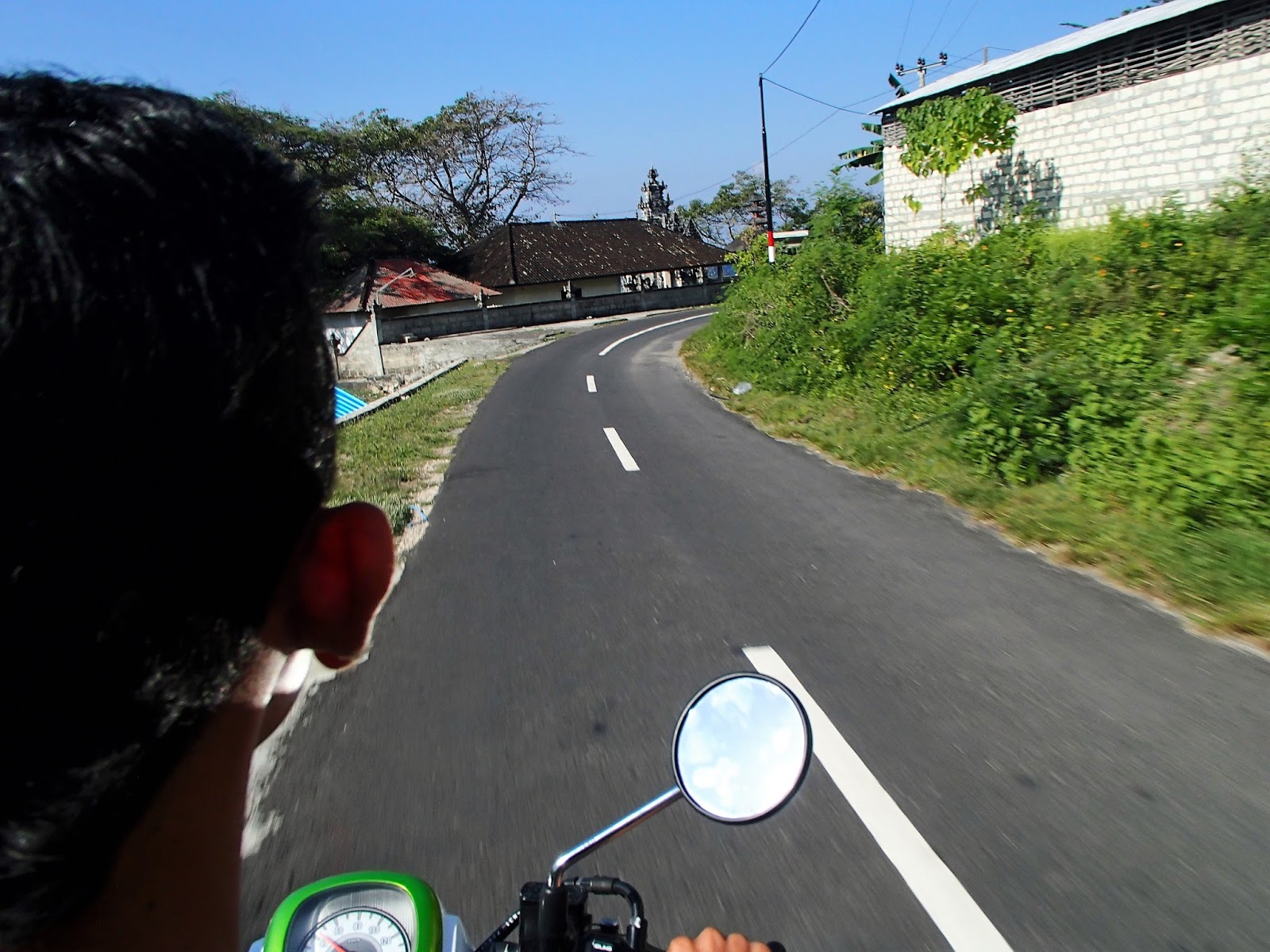
MANTA'S rental motos were pretty beat up - typical of PENIDA where atrociously surfaced back roads are the norm. Mine rode well but was scratched up, had a missing mirror and no number plates (didn't see a cop in 10 hours of riding over 2 days: not that my licence is endorsed for motorcylcles as BALI requires - I always carry a 5Ok note wrapped around my Aussie car licence for if I'm stopped - has never happened but I've seen plenty of western moto-renters stopped when cycling on mainland BALI.
MANTA'S 60K a day rental fee plus fuel was a pretty fair deal.
I headed south-west from MANTA. After a few km the coastal road turned right and began to climb the plateau - some good slopes and wicked hairpins.
Viewed from south mainland Bali, PENIDA'S plateau seems a smooth-topped mound but in fact wet season runoff has managed to carve some decent gullies and small valleys into the soft limestone. I later noticed the gorge behind ATUAH BEACH was a kind of heavily vegetated GRAND CANYON.
However rapid infiltration sees a lack of running water in these gullies in dry season. Rapid infiltration or not, the plateau top supports a good cover of forest and shrubs. But soils must be thin - not much commercial cropping is seen up here - maybe some scattered commercial grazing. Most farming seems to be dispersed subsistence cropping/grazing.
Gets a bit cool in the highest areas.
There are scattered villages on the plateau - many seem to have a specialist activity like textiles, stone carving rather than acting as service centres - not too many surrounding rural dwellers to serve. Many contain houses of the subsistence farmers mentioned above. Temples are wide-spread - PENIDA has a special religious significance to general BALI residents.
MATA AIR GUYANGAN
I wanted to check out the awesome cliffs on PENIDA'S west and south coast, but with no navigation device and a VERY basic map I had no idea where I was. There are dozens of side roads and sign-posting is largely absent including the names of many villages. Very little English is spoken but I got the general idea I was heading for the far southern point or maybe a bit north from TANGLAD on a cut up, super narrow back road.
So narrow that a vehicle behind could not overtake - I pulled to the side and let it past - it was a compact SUV with western passengers. I figured it must be a tour guide taking a party somewhere interesting so I tucked in behind. After a few km we parked alongside a temple at the top of some awesome cliffs - we had reached AIR GUYANGAN which as you can see is not exactly at the far southern poiny. Nevertheless it was just the sort of place I was seeking.
MANTA COTTAGES to AIR GUYANGAN via TANGLAD,/SHORTCUT/BATUKANDIK is 25km, The roads as far as BATUKANDIK were good but the last (blue) 6km leg was super rough in parts, had several confusing branches and was very narrow - at one point the small SUV I was following took the mirror off a badly parked moto outside a village house when trying to squeeze by.
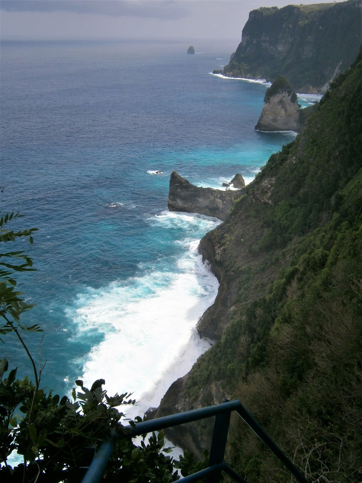
This is the sight that greeted me at the edge of the cliff. I dunno how to express this - ever since 1975 when I first saw PENIDA'S CLIFFS from SANUR I've wanted to check them out up close. Thing is, these southern coast cliffs are way higher than the western coast facing SANUR.
As my american backpacker friend Madison would say: "ARSUM!!"
The stairway. We are talking over 700 steps. Many parts have a 45degree or steeper slope. I run and walk steps and steep hills in my hometown most days - was chuffed when I walked out non stop despite a weighty motorcycle helmet clipped to my backpack.
Thick blue pipe is water supply for distant TANGLAD pumped up from pool below. Thicker black hoses are also water supply for smaller villages close by. Thinner black cables are electricity supply for the pumping station down at the pool.
Outlook about half way down.
SUV passengers enjoy lunch at the foot of the stairway. Pumping station background. Pool is out of shot to right, better seen below....
Pool (arrow) is fed by water which has filtered through many hundreds of meters of limestone from the plateau surface - is super clear. Online tour sites show shots of people swimming but of late this is banned - it is after all the water supply of a number of villages.
Excess water flows to cliff edge and falls 25m to the sea. In high flow times this becomes a small waterfall - online sites have some good pix of GUYANGAN WATERFALL.
Site at top left of pic is a small religious temple. There is a bigger temple at the top of the stairs. A dude collects a nominal parking fee for the temple and stairs. An adjacent warung provides welcome refreshments for stair climbers.
SECOND DAY MOTOR-BIKING
I first headed south-west to check out ATUH BEACH which a German girl at MANTA told me was simply gorgeous - she was not wrong.
ATUH BEACH - MY NEW BEST BEACH IN BALI
Because I'm a beaches nerd, this was the highlight of places I managed to visit.
ATUH BCH is about as far east on Penida as you can get - it's 20km by road from SAMPALAN and 12km from Mantra Cottages.
There are 2 main access roads into ATUH. The northern (white) route is a mere 1km shorter from SAMPALAN. It leaves the very well surfaced if a bit narrow main road first (well sign-posted) and follows a series of narrower but still well surfaced country lanes thru a couple of villages (any turns are well sign-posted - I didn't have a mapping device to follow but apparently they do a good job if you punch in "ATUH BEACH) which only deteriorates in the last 300m to the parking area high on the northern headland.
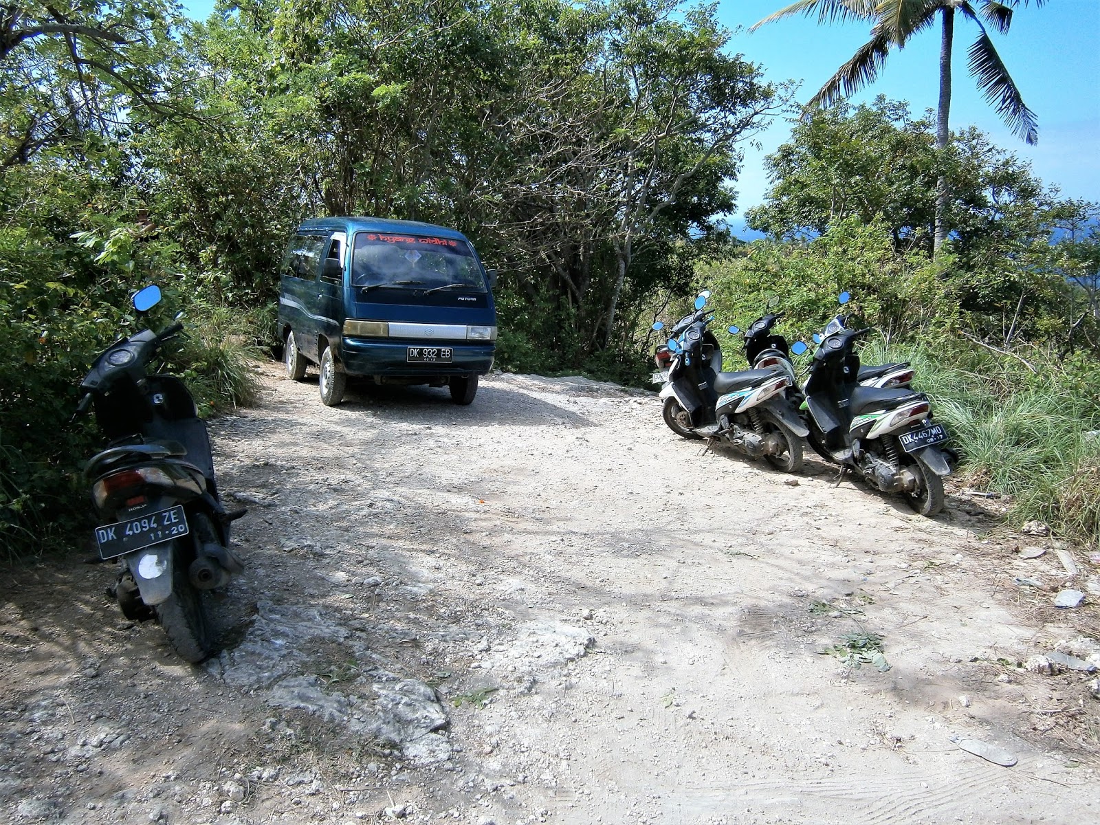
Part of northern parking area - had about 8 vans and 20 motos in total. No parking fee but it wouldn't surprise me if there normally is - most PENIDA attractions had a nominal under US50cents fee.
It is possible to take bikes a bit further down the track but it is super rough - only for experts.
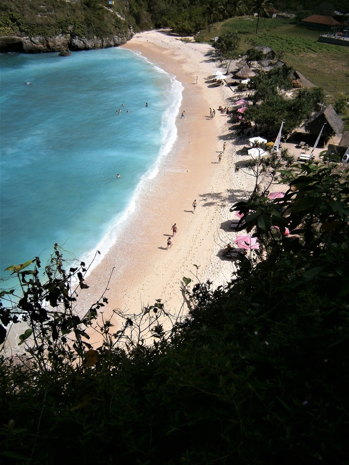
Overview from near the northern parking area. Check the steep concrete steps up the opposite headland - they lead to the southern parking area just out of shot top right.
The access track from the northern parking area is about 500m long. The second half is narrrow, super steep and super rough - much rougher than the southern stairway in the above shot.
Beach from half way down
Mid-bay back floater
The side road to the SOUTHERN PARKING AREA is also well signposted on the main road a little further south. But I didn't take this and can't comment on subsequent signage or road surface. The fact that GOOGLE MAPS gives this slightly longer route from SAMPALAN a slightly shorter total travel time suggests the surface can't be too bad. Punch ATUH BEACH PARKING into your navigation device to get route directions.
The access track from the southern parking area is nicely paved and not steep for this first section. Dudes front right are collecting access money. Apparently villages both sides of the beach claim ownership. Southern village has spent big time on access - deserves any entrance fee.
Below this point the track steepens to a high warung seen by click-expanding the shot 3 above this - after which it drops VERY steeply down a set of concrete stairs to the beach.
Details of north and south approaches. I forgot a linear scale - it is 500m in a straight line between the placemarkers for STH PARKING and NORTH PARKING.
People start the descent of the southern stairway
Stairs are well formed but the main problem for people with worn out knees like me is that the risers are often TWICE the height of conventional stairs. And did I mention the steepness?
For such an isolated spot there was a surprising number of visitors on the beach. Unusually lots were young Americans in that gap year (post college) age group. US citizens are not all that common in Bali (come a poor 5th after Aussies, Chinese, Euros, Japanese) and they don't tend to show up in out of the way places disproportionately - Euros win here, particularly the French. Maybe some US TV outfit has just done a special on PENIDA.
Locals have set up several warungs with food and drink. Sun-lounges/umbrellas and bean bags can be rented.
Note NUSA BATUPADASAN offshore in central pic. Sand was a pretty clean white/yellow but pic immediately above indicates it gets a bit messy towards the back of the beach.
I visited mid tide - high water marks indicated not a lot of sand at top of the tide.
SNORKELING? I didn't notice any snorkelers or warungs hiring out gear. However my experience of tropical places like this is that there are always interesting fringing coral and plenty of fish along the rocks of headlands and islands. Once again I was too lazy to check it out,

When swimming I noticed a gentle sideways current as shown. No doubt this feeds into a rip current along the long northern headland but I couldn't be bothered to confirm this. The side drag was easy to swim side-ways out of. Judging by the size of the swell, so would the rip current (note: SWIM TO THE SIDE - NOT AGAINST). I mention this on a need to know basis - keep an eye on your kids although most kids and other swimmers will stay close to the sand were there seemed to be no currents. In relative terms these were benign currents because wave size in the bay is kept down by the protection of NUSA BATAPADASAN. Super popular beaches like BONDI and MANLY in Australia often have big, nasty rips - surfers use them to get 'out the back' to the wave take-off zone.
Check the swell coming thru the narrow gap between NUSA BATUPADASAN and the southern headland - this is because the prevailing dry season swell aligns with this opening. However there was the occasional wave working thru the big long gap between NP and the northern headland. None of the waves were good for body-surfing the day I visited even though swell in the open ocean was pretty impressive that day.
JOGGLO BUNGALOW on the tip of the southern headland. This place is available for holiday rental - check AGODA and TRIPADVISOR. The price seems a little steep.
JOGGLO top left - stair top warung blue roof right. Parking area out of frame right.
Coastline immediately south of JOGGLO. Beach is the inaccessible VOLCOM. Those awesome cliffs run some 30km along the east, south and west coasts of PENIDA.
The main road back to the coast has some good views - check MAINLAND BALI'S volcanic peak AGUNG in background. MANTA COTTAGES is somewhere this side of that second headland - I think its location may just be hidden behind the foothills of the first headland.
AFTERNOON DESTINATION - CRYSTAL BAY
After lunching at MANTA I took off for CRYSTAL BAY on the other (western) side of PENIDA. Online and printed travel guides say this is a MUST SEE - maybe it was a few years back but I was underwhelmed (although to be fair I didn't dive or snorkel which are said to be pretty good. Here's the thing - I don't dive unless it's free. I do snorkel most days for lobsters and abalone in a gorgeous bay behind my house, have seen world's best coral/fishies on Australia's GREAT BARRIER REEF lotsa times, have seen one of PENIDA'S best on a dedicated snorkeling trip out of NUSA LEMBONGAN 20 years ago - it was okay but far from world's best - so I'm kinda jaded snorkel-wise and unless somewhere promises to be exceptional I give it a miss. Forget research obligations to readers - at 71 if I don't wanna do something I don't. And I bet there are some good specialist snorkeling reports for this place online).

CRYSTAL BAY is on the far west coast facing the narrow channel between PENIDA and CENINGAN. It's 22km from MANTA, 17 fr SAMPALAN and 8 fr TOYAPAKEH. You will be on good but narrow main roads all the way to the well-signposted turnoff about 3km up the plateau from south TOYAPAKEH. The side road is also well sign-posted for the bay and is a pretty straight shot to the ocean. Surface is quite good until the last km or so where there are also some very steep pinches (no problems for a moto). NEED TO KNOW - when leaving the beach area turn hard left onto this road otherwise you will dead-end in a small village.
btw - the turn-off to GAMAT BAY which I also meant to check out, is off this side road, but I missed it both coming and going.
I forgot to add a linear scale - it's 13km in a direct line between the place markers for THE BAY and MANTA
Typical of last km into CRYSTAL BAY
Beach showed evidence of overuse - sand was not exactly pristine and the dreaded sun-lounge/beach bag/umbrella scourge had started to spread. The high tide mark showed not too much sand left at the top of the tide. This shot doesn't indicate it but there were lots of visiting boats - CRYSTAL BAY is a popular daytrip out of LEMBONGAN and CENINGAN. I bet QUICKSILVER gives guests the option of a visit from the big day-trip pontoon shown up page.
Behind the sand was a mish-mash of snorkel gear rental stands, warungs, cheap clothes stand etc and behind them a barren area of dirt, some standing water and a parking lot (nominal charge). A few palms would do wonders for this eyesore area.
Incongruent - unmanned life guard tower facing the wrong way. Who decided one was a good idea at a beach with virtually no surf and no rip-currents?
Far northern section of the beach is nicest and least busy - backed by palms unlike central and southern areas.
This is a lee shore and doesn't get any of the dry season prevailing swell. The islet PALAU BATUMEJINONG and NUSA LEMBONGAN (background) block any swell coming the other way. As such there are no appreciably sized waves here - meaning no rip currents near the beach. This makes a safe swimming beach but take care of boat traffic - many of those boats in background have dropped daytrippers on the beach.
The surrounds of the islet looked to be ideal snorkeling territory to me.
The narrow passage across to LEMBONGAN does get strong TIDAL CURRENTS. These could well wrap into the outer bay so take care when deep water swimming and snorkeling.
GETTING AWAY FROM PENIDA
I decided to take the slow public vehicle/passenger from SAMPALAN to PADANGBAI on the mainland. The latter is much further from my KUTA destination than the alternative fast boats to SANUR, but is a small ship allowing me to walk around - way better than being crammed into a cramped bumpy speedboat . And way cheaper too - would you believe less than $US3?
Ain't she a beauty?
They sure pack them in - 1
They sure pack them in - 2
Goodby PENIDA
Hello mainland BALI.
This is WHITE SAND BEACH just south of PADANBAI's harbour. I had 2 hours to recheck the area before my PERAMA shuttle left for KUTA - I was walking this beach minding my business when 2 dogs attacked me. One bit me twice. At this time 2 weeks after, I still haven't finished the RABIES and TETANUS series of shots. MEMO TO SELF - start carrying SNAKE BASHING STICK like in the Australian bush when in BALI
UPDATE PENIDA ACCESS JULY 2019
Called in to PENIDA on my recent to and from journey to SW LOBOK's GILI GEDE on GILI GETAWAY's fast boat from SERANGAN HARBOUR near KUTA BALI. This also calls in at LEMBONGAN. The trip to PENIDa is quick (60mins pier to pier) and because it includes free transfers to/from pier KUTA end, very hassle free. I was not impressed with the high fare to GEDE, but because there is COMPETITION on the PENIDA and LEMBONGAN runs, I thought the fares there pretty acceptable.
The fast boat puts into BUYUK harbour on the tropical north coast of PENIDA. BUYUK is in EAST SAMPALAN less than 2km from the slow boat harbour.
BUYUK looked okay - that's the SEMAYA ONE BEACH CLUB. Area seemed to have a fair bit of accommodation.
ATTENTION - if you have extra info or see mistakes please post below. But if you have QUESTIONS, please ask in THE FORUM which I check often when not traveling - whereas I check individual location pages like this one only occasionally.