
The IAO VALLEY is one of the biggest in MAUI'S WESTERN HIGHLANDS. The highlands are the severely eroded remnants of MAUI'S first volcano - MUANA KAHAHAWAI. Because this is several million years older than MAUI'S other volcano, HALEAKALA. erosion is much more advanced - HALEAKALA is still recognizable as a rounded SHIELD VOLCANO whereas MUANA KAHAHAWAI looks a mess of mountains and valleys. It doesn't hurt that that section of the WESTERN HIGHLANDS has the earth's second-wettest meteorology station.

IAO VALLEY has vast historical significance to Hawaiians and some very pleasant/scenic locations plus very good trekking. As a result it is one of the more visited locations on the island.


Slope behind arrow is the lower northern foothills of HALEAKALA volcano.
IAO STATE PARK - IAO STATE MONUMENT
This is one of two heavily visited parts of the valley. Besides attractive stream pools, some nice garden areas, viewpoints and trekking opportunities is is also known as IAO STATE MONUMENT - a monument to the 4000 warriors who fell here in a huge inter-island stoush back in 1790. Actually I'm still unsure whether the WHOLE park or just a LIMITED AREA makes up the MONUMENT.
I was lucky - the valley was severely flooded in September 2016 and after extensive repairs this area had been temporarily opened to high season visitors the day of my visit. After high season it closed again to allow further restoration. So check its open status before you go. STATE PARKS has a good website.
SOME IDEA OF THE FLOOD

THE CAR PARK

Unfortunately public transport does not come up here - the nearest bus stop if for bus#20 in WAILUKU abt a 2.8mi/4.5km walk - shouldn't be too difficult: I managed the reverse on wrecked knees after my big valley ridge hike (okay it was downhill, but anyone with wrecked knees will tell you downhill is harder).
I forgot to add a linear scale - it's 2.6mi/4.2km between the place markers for Car Park and Wailuku (may be clearer if you click-expand).

Many people had parked their vehicles alongside IAO VALLEY ROAD and walked in - this avoids** the entrance fee of $5 per car for non-locals.
**at least if they walked behind the toll booth like sneaky me.


I didn't see any picnic facilities here, but KEPANIWAI PARK is just down valley and had lots - mind you it is very popular. I also noticed a lot of the native Hawaiian families enjoying the pool areas had picnics laid out on the rocks.
Taking the exit track background-left above you will soon come to....
....THE KINIHAPAI BRIDGE over the tributary of the same name.

For some reason I didn't get a pic of the bridge so I had to pinch this one from WEDENGAGE.COM - but it is totally excellent: the photographer seems to have gone to the effort to get downstream in order to catch the NEEDLE behind the bridge. Can't beat those pros.
Once across the bridge you have a choice of turning DOWN to the left or UP to the right.
If you turn left and head down the side track you access within 30m....
....THE ETHNOBOTANIC LOOP

I think this is a PRE-FLOOD pic (once again I had to resort to GOOGLE IMAGES: this one came from the DIVISION OF STATE PARKS) - it wasn't quite as lush when I called by but still a very pleasant place to wander (about 300m of pathway) and sit (no benches but garden border walls did the job).
This area has a bonus - it is the best location to access the....
....IAO STREAM POOLS


THE NANNY STATE STRIKES AGAIN

No worries - so many locals were ignoring the signs that I thought even the most officious ranger would not try to book them - and being a great fan of mass civil-disobedience I joined the mob.
STAIRWAY TO HEAVEN?
Well not quite. By turning right of the bridge you immediately hit a set of stairs which go about 300m up to the IAO NEEDLE viewing platform (Upper Viewpoint on Google Image).

....AN INTERMEDIATE VIEWING PLATFORM


THE UPPER VIEWING PLATFORM

My pics of this area were way inferior to this great shot also from WEDENGAGE.COM.
MORE NANNY STATE

I was itching for a nice long trek in the bush. I'd read how native Hawaiians back in the day used to climb the NEEDLE to spot incoming sea traffic and I was wondering how close I could get. It was obvious that a trail left from the UPPER PLATFORM but it was blocked by a railing and the usual sign.
No worries - I figured it unlikely any rangers would be on the trail (my observation in other places is that it takes a hell of a lot to get them off their bums and out of admission booths and admin offices) and so I jumped the fence and took off up the......
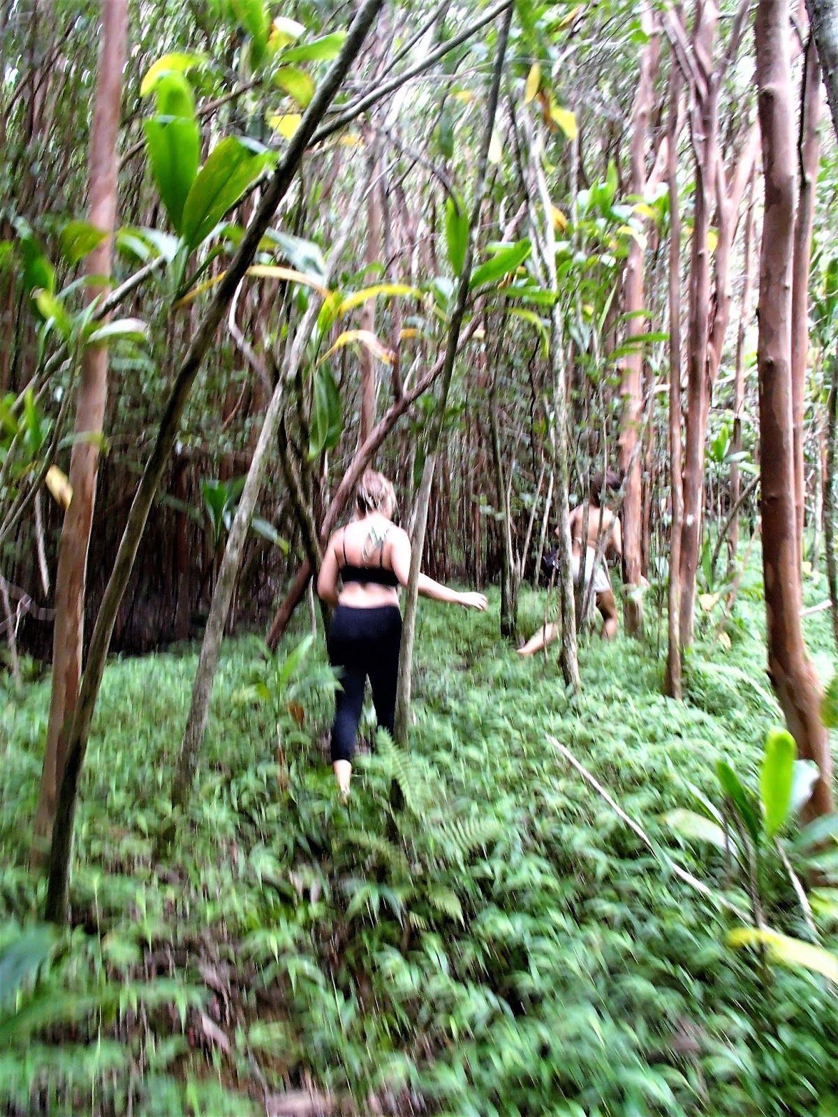
....KINIHAPAI-IAO RIDGE TRAIL

Conditions varied on this track. Gradient was pretty good, from mild to moderately steep but never really difficult. Few steps. The track surface was sometimes good, other times rough with plenty of roots and rocks. Good footwear recommended. I was surprised by relatively little mud for one of the wettest places anywhere. Then again it hadn't rained for several days 4km away down in WAILUKU.


WHEN THE GOING GETS TOUGH....

Progressively the track got rougher and narrower - several times we had to bush-bash and more than once lost the track. Sometimes surrounding cloud misted-out visibility. Finally 90 minutes from the start we decided to give up and head back - we figured we were half way to LAHAINA on the west coast at that stage.
BACK NEAR THE TRAIL HEAD

OH GEES, DID THAT BLITZ MY KNEES!

But my 72 y.o. knees were in worse shape - already dodgy from too much jogging in bad/no shoes back in the day and exacerbated by an earlier 6+ hour CRATER HIKE ON HALEAKALA, a 3+ hour WAIHEE RIDGE TREK, several shorter hikes to waterfalls on the HANA ROAD and to several isolated beaches , not to mention a 40km cross-island bicycle ride; they were pretty sad after the IAO VALLEY gallop. And they're still not great at the time of writing 2 months later - maybe the 30+km of walking on MAUI'S west coast the following week wasn't such a good idea.

Purple - top viewpoint Orange - Oaho Needle White - turn-back (approx). White point on far right margin is car-park. Click-expand much clearer.
Ignore Yellow - MISTAKE, but this new version of Google Earth is difficult to correct (at least for this IT-challenged 72yo).
Update - well that was when I first downloaded GE - it now is back to normal allowing me to do the other "maps" on this page normally - but I can't be bothered redoing this one.
WOULDN'T YOU RATHER DRINK COLD BEER ON THIS UPSTAIRS VERANDA....

My new friends were heading to the Sunday afternoon DRUM CIRCLE at Makena's LITTLE BEACH and asked if I'd like to tag along. But having been a nudist since my teens I'm a bit rlaxed about naked chicks, hippy or otherwise, and I knew there was a bunch of ice cool beers waiting for me back at my WAILUKU hostel. So I declined. Should have got a lift with them the 4km down there - walking hard surfaces downhill (although moderate slopes) is not great for already wrecked knees.
KEPANIWAI PARK
Only 600 yards/1km down the road is IAO VALLEY'S other visitor attraction - actually it seemed more popular than the STATE MONUMENT area. Maybe that's because the garden area is bigger, there are picnic facilities, heritage buildings, an associated NATURE CENTER, parking is probably better, entrance is free and being a COUNTY park vs STATE park, it was repaired of flood damage and reopened earlier - and didn't seem to have those annoying NO ENTRY signs.
The park is mulitfunctional....


....away from the heritage area is plenty of PICNIC FACILITIES with big pavilions not unlike above but with seats and tables and adjoining bbq facilities (but I didn't see any hot food vendors) - also limited picnic tables down near the stream.....
THE STREAM HAS MANY POOLS TO DIP A TOE, PADDLE OR TAKE A DIP....

PARKING AND SCENERY

PARKING was a bit tricky - our van driver had to search around some time for a space even on a week day. There is a smallish overflow lot across the main road from the lower entrance but when I walked by after visiting the MONUMENT AREA on a Sunday it was packed. Once again plenty of people parking roadside. Mind you, the park appeared even more crowded than mid-week maybe because I could hear a good rock band - hey maybe M A W had a shindig going.
HAWAII NATURE CENTER
This compact area adjoins the park. There is a museum with interactive displays, more loop paths thru garden areas, organised hiking programs and educational stuff for kids. Admission is free but I only had time to stick my head in the door of the museum.
This is one area I intend to spend more time at when I return to MAUI - as a matter of fact the whole IAO VALLEY area demands another visit.


ATTENTION: IF YOU SEE MISTAKES OR HAVE EXTRA INFORMATION, PLEASE POST BELOW. BUT IF YOU HAVE A QUESTION, PLEASE ASK IT IN THE FORUM WHICH I CHECK MOST DAYS - I REVISIT THESE INDIVIDUAL PLACE PAGES INFREQUENTLY.


1 comment:
official statement see page he has a good point official source Continued look at these guys
Post a Comment