One of Thailand's best known seascapes - Khao Tupu karst stack taken from James Bond Island (Khao Ping Kan).
Phang Nga Bay includes the area between northern Phuket and the Krabi coast plus a northern extension where the bay takes a decent bite into Phang Nga province . It contains some of the most spectacular landscape-seascapes in Thailand. As a matter of fact I think it is #1 - beats Phi Phi Lae and the Railay area hands down.
Most people only visit one section of the bay, but the popular tourist areas are in 3 zones:
 The Bay's attractions fall into 3 zones - the Central, Western and Eastern Bay. Well that's how the experts split them - I'd go for NORTHERN instead of CENTRAL (image - modified Google Earth).
THE CENTRAL BAY - this is the most heavily visited, with trips out of Phang Nga town concentrating on this area. A lot of daytrips out of Phuket bus people to the piers near Phang Nga town as do Krabi tour operators (although the Eastern Bay is more popular from Krabi).
Here we have Ko Panyee/Panyi - the famous Muslim fishing village on piers, the even better known James Bond island, plus some wonderful mangrove landscape.
The kayakers' favourite, Ko Hong (the more western one) kinda overlaps the CENTRAL and WESTERN BAY areas.
THE WESTERN BAY - tours out of Ko Yao Noi and the Phuket piers concentrate on this area although they often go further, into the Central bay - likewise CENTRAL BAY tours often push into the Western Bay.
Besides the Ko Hong mentioned above this area contains Ko Panak which has an okay beach and some hongs which are said to be even more impressive than at the two Ko Hongs. And a bunch of other spectacularly soaring karst islands.
THE EASTERN BAY - this area between Ko Yao Noi and the west Krabi coast around A0 Muang/Tubkaak is most visited by tours out of those locations. Best known features here are the eastern Ko Hong which is not a true hong (a hong is where sea action has eroded a tunnel thru a karst stack and rain/gravity has caused the top to collapse creating an inner sun-bathed hidden lagoon whose walls are often lined with a mini-rainforest) being open to the sea, but which has clearer water, nicer beach and some coral compared to central and western areas - and Pak Bhia, noted for nice beaches.
Further north the mainland coast around Ao Leuk and Ao Thalen has very good mangroves which are popular with kayaking and canoe tours out of those towns and Krabi.
MAP - a detailed map of the Bay can be found here.
TOURING THE BAY
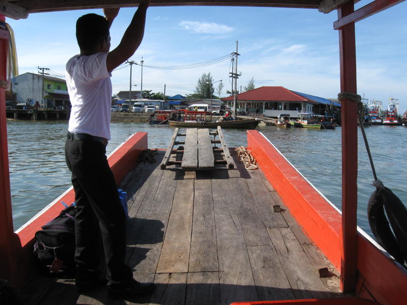
I've done 2 daytours of the area - both of which took in the CENTRAL and parts of the WESTERN bays. The first was out of Phuket last century. The second was in December 2010 out of Phang Nga town with Mr Kean Tour based in the bus-station there. I extended this tour with an overnight stay in the pier village at Ko Panyee - there is a report and pix here.
 Mr Kean's full-day tour starts at the Tha Dan pier near Phang Nga town and takes in the attractions of the CENTRAL BAY plus some of the WESTERN BAY. His half-day tours miss the southern most Ko Panak's beach/lunch stop and the nearby Tham Keaw Cave. 800 and 500 baht resp 12/2010, including National Park fee - you can add a night on Ko Panyee for another 250. Most tour operations out of the Phang Nga coast follow the above pattern (modified Google Earth image).
 The first part of the trip is spent cruising the wonderful mangrove channels of the Phang Nga coast. As a frequent visitor to north Queensland this strikes me as classic crocodile country - there must have been thousands of muggers back in the day. Hunted to extinction.
 THAM LOD CAVE is a highlight of the mangrove section - the boat actually goes right thru the cave. Note that some of the bigger cruise boats can't do this.
 Shortly after leaving the mangroves the trip cruises past the Muslim fishing village on piers - KO PANYEE/PANYI. Mr Kean's tour calls in here on the way back to Tha Dan. Roughly 45 minutes are given to check the place.
Many tours stop in here for a wonderful buffet luncheon in one of the big seafront restaurants. My daytrip out of Phuket back in the 90s did this - I thought it was great. I learned then it was possible to stay overnight in the village, so I did this in Dec 2010 as an extension to Mr Kean's tour - the best 250 baht I've spent in Thailand. I have a report and pix here.
 Further into the bay kayaking operator SEA CANOE had a number of vessels moored in a sheltered channel between two big karst islands - no doubt as day-bases for its operation. This area is fairly close to the western Ko Hong, Ko Thalu and a number of other attractions. Mr Kean offers an hour of kayaking as an extension to his tours for 350.
Paddle Asia is another company offering similar services.
Shortly after passing the above area we checked out THALU CAVE which is very similar in appearance to the Tham Lod Cave pictured up page, except it has ocean each side instead of mangrove lagoons.
 Next a visit to JAMES BOND ISLAND (Khao Ping Kan) - relatively uncrowded this early in the day. The boat moored on a small back beach and we took a short cliff path over to the main beach/trinket selling area. Shot top of page was also taken from this path.
I wasn't too whelmed with this place on my 90s visit - it was much later in the day, very crowded and the trinket sellers were very aggressive. But not so on this latest trip.
Interestingly Google Earth at the time of writing showed quite a lengthy pier on the small back beach - it was gone when I visited in early Dec 2010. Boats simply nosed into the beach. This may be more difficult with some of the bigger craft.
I was amazed at the number of tourist boats on the bay this latest visit - ranging from small longtails like ours, thru bigger fast longtails like I took on my 90s trip, lots of speedboats, sail boats to some quite sizeable ferries and cruise boats. There is even a traditionally rigged junk - Google June Bahtra - but be prepared to sell the house.
I think many more boats, particularly the bigger ones, originate at Phuket piers these days.
A feature of Mr Kean is that his full day trip takes its time - between locations we idled along which gives more time to drink in the views and keeps things much drier if there is any wind-chop on the water. My 90s boat fanged, although I still had time to be amazed by the passing landscape. But this was really a half day on the Bay after coming up from Phuket and visiting a rubber plantation and the Monkey Cave Temple near Phang Nga town.
 Not too far WSW of James Bond Is is KO HONG (the western one) - note the small dot of daylight in this high-tide shot. I'm not sure if that is the other side of the island or the inner lagoon. Even at low tide the cave with its inner lagoon is apparently only accessible by kayak or canoe.
 Next stop was THAM KEAW cave. We climbed up from this small beach - the tunnel went maybe 150m to a similar elevated opening looking out over a nice lagoon. Mr Kean supplied headband flashlights - some limestone formations inside the cave but nothing to get excited about. This area was not visited on my 90s trip.
Neither was the following stop - a small beach on KO PANAK for a picnic-box luncheon, a beach walk and a dip in the ocean. I swam out maybe 300m - it was kinda nice floating around out there surrounded by awesome karst islands in an area few people get to splash in, but I wouldn't say the water is particularly clear. Too many streams flow into the northern and western bay.
For some reason I didn't take any pix at Panak - I Googled images for the island - quite a few beaches shown, all of which had nothing to do with the beach I visited. I recognised shots of Krabi and Lipe beaches - hell, there was even a pic of the bridge on the River Kwai! Go ask.
But Google did come up with the following valuable shot:
 I didn't know at the time, but it seems Ko Panak out-caves, out-hongs all other places on the bay. But it's one of these locations you need a canoe or kayak. The beach is out of frame from the bottom corner (image Sea Canoe)
 Ko Panak was as far south as we got - turning around this is the panorama which greeted us. The Phang Nga coast is over the horizon.
 Closer in - if you click to expand you will better see the yacht moored alongside the island. On my flight into Phuket I was sitting next to a girl who was heading to Phi Phi to meet up with friends who had sailed a hire-yacht from Langkawi. Their aim was to do Phang Nga Bay before heading to the Trang islands. Maybe she was on this one.
As we got closer to the yacht we could see a line of about a dozen kayaks moving along the island's coast. The Sea Canoe tender boats were moored just around the corner of that towering stack.
From the above point it took maybe 15 minutes to get back to Ko Panyee. I bailed out to do my overnight there and the other guys did a 45 minute tour. Time was maybe 1500 so all the bustling luncheon crowds were gone.
From Panyee, Mr Kean's tour stops by the nearby Khao Khien cave paintings viewable from the boat, and cruises past Khao Marju/Pekinese Rock, another bizarrely shaped towering stack.
----------------------------
PHANG NGA TOWN
One of the best ways to keep costs down for a bay trip is to base yourself in Phang Nga town.
This is a bustling place maybe half way between Phuket town and Krabi town. The guidebooks call it a small town but it stretches for several kms along at least 2 different road routes - it aint small by Australian small town standards.
 Part of Phang Nga town main street from the roof terrace of the Ratanapong Hotel
 The Ratangapong is a typical Thai hotel - I got me a clean basic fan room with bathroom for 150. They also have aircon. This joint is about 300m from the bus station - turn right, stay on the same side, go thru traffic light intersection.
 That's a 7-11 at the bottom corner, there is a similar place across the road, several nearby restaurants and an internet cafe about 100m further to the left. The markets are down that soi at right - were a bit noisy from 4am, but lots of fresh and cooked stuff to eat for brekkie.
More modern Phang Nga Inn is 30m out of frame to the left and a similar joint is virtually behind the camera.
 This is Mr Kean's tame songthaew outside his shop in the Pang Nga town bus station compound. The very similar Sayan Tour is about 2 shops away.
Mr Kean often meets incoming buses - he's a rugged looking old dude and I thought he was a tout trying to drum up business for an out of town guesthouse (which I didn't want) when I arrived at 8pm. I suggested next day he get a small sign MR KEAN TOUR or a printed t-shirt. Most travellers know about Mr Kean (and Sayan) from the guide-books and are less likely to ignore him.
The songthaew picks up at accommodation places around town and takes people down to Tha Dan pier about 9km away for the start of the bay tours. Mr Kean also does a local mainland tour taking in the Monkey Cave Temple, the Heaven and Hell Cave and Sa Nang Manora Forest Park for 450 b including admission fees.
MR KEAN TOUR - 076 - 430-619, 081-871-6092
GETTING THERE
All buses heading from Phuket and points north to Krabi and other places in the south Andaman and general South call in at the bus station. Many Phuket-Surathani buses stop by as do many Bangkok-Phuket services. Plus there's a bunch of buses from areas near or far terminating in Phang Nga town. I saw several Kuraburi-Phang Nga services - Kuraburi aint exactly a bustling metropolis.
Most travellers' minibuses plying this central section of the Andaman coast will drop you off in town.
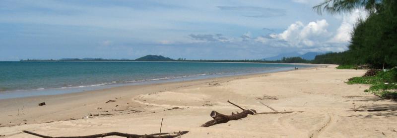
 Typical bay scenery - a towering karst stack near Ko Hong (west Bay)
STOP PRESS. Frequent contributor to the TRIP REPORTS section boleslav has just sent me a report on a December 2010 trip to Ko Yao Noi. It has details and pix of kayaking trips around the EASTERN BAY - Pak Bhia, Ko Lading etc.
If you tour the bay you may be interested in staying a night at the sea gypsy village on piers at Ko Panyi. My report is on this page.
You might also be interested in the bigger west Phang Nga Bay islands of Ko Yao Noi and Ko Yao Yai. Their pages can be reached via THE INDEX sublink top right of this page.
--------------------------------------------
If you see mistakes or have extra information, please fire them in below. If you have questions, please ask them on THE FORUM which I check most days. I only visit individual island pages occasionally.
BACK TO MAIN INDEX